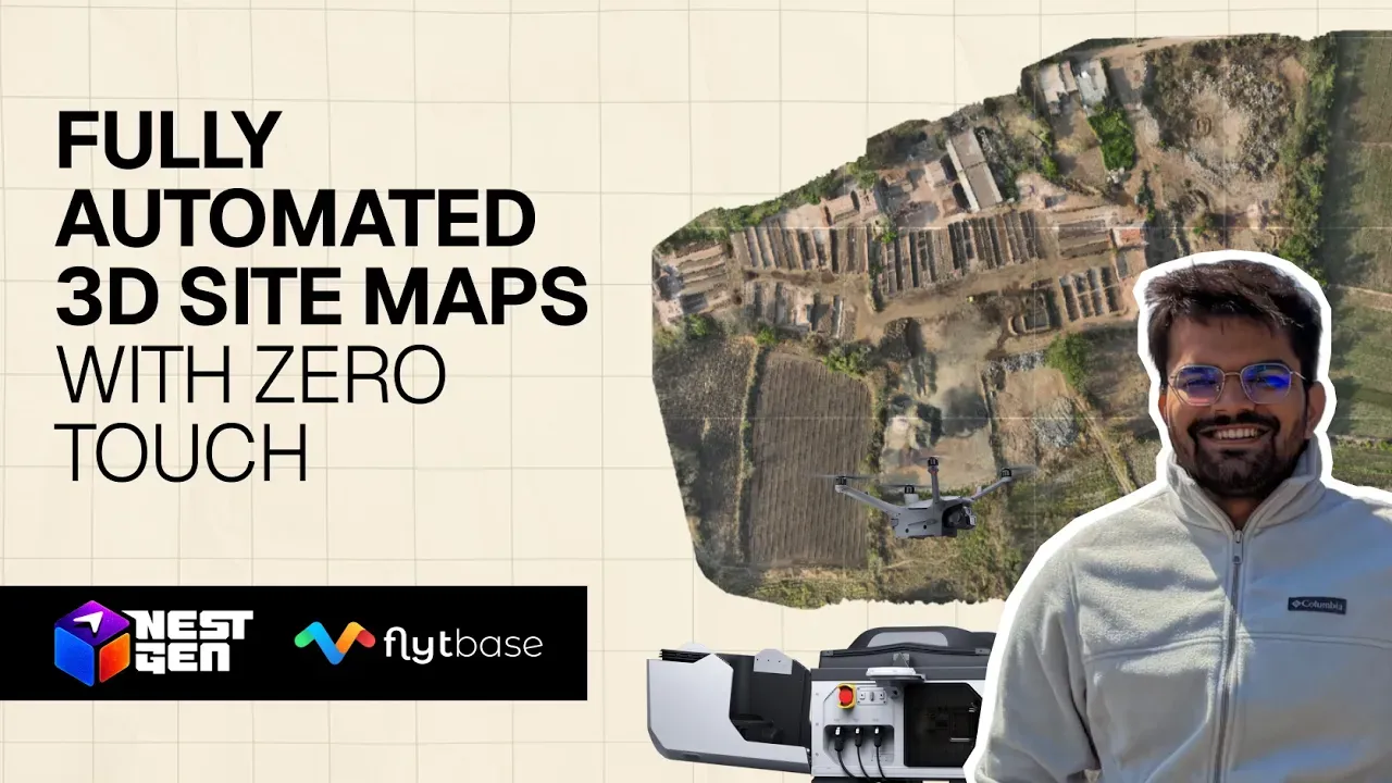
Generating Fully Automated 3D Site Maps with Zero Touch, Every Flight
Keeping site maps current usually means planning survey flights, collecting the data by hand, and waiting on processing before anyone can use the result. By the time a map is ready, the site has often already changed. In this NestGen session, FlytBase will show how Akara generates fully automated 3D site maps from every flight, with zero manual touchpoints, and what teams should think through when moving from occasional surveys to maps that stay up to date on their own.